Een duidelijkere weergave van ondergrondse infrastructuur
Detectie van nutsvoorzieningen
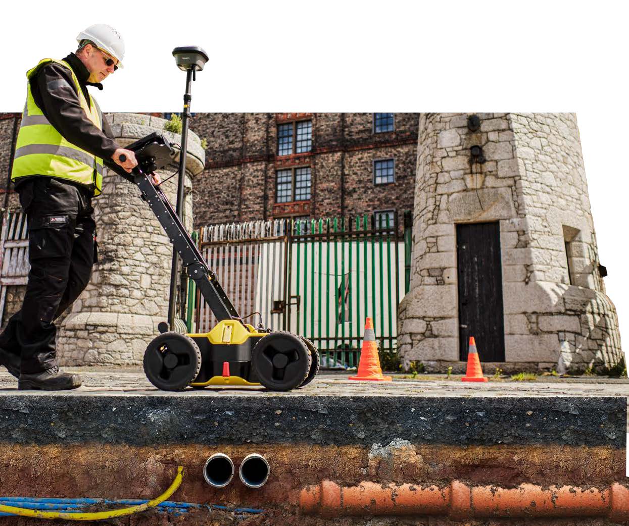
Onze detectieoplossing bestaande uit draagbare hardware en intuïtieve software, maakt het gemakkelijk om kabels en leidingen te lokaliseren en visualiseren, bijvoorbeeld bij reparatie- en onderhoudswerkzaamheden of bij het in kaart brengen van ondergrondse infra. In tegenstelling tot elk ander grondpenetrerend radar (GPR)-systeem, maximaliseert de GPR de productiviteit dankzij geavanceerde software die de gegevensanalyse op gebruiksvriendelijke wijze automatiseert en direct een 3D-kaart van de kabels en leidingen maakt op locatie.
Data-acquisitie
Bekijk in realtime het scanpad en plaatsbepalingsnauwkeurigheid voor de nodige begeleiding
‘points of interest’, zoals rioolputten, lantaarnpalen of brandkranen
Verwerking op locatie
Doorsneden op verschillende dieptes van het 3D detectiebeeld
B-scan functie voor inzicht in grondcondities en ondersteuning bij datainterpretatie
Lokaliseer kabels en leidingen met behulp van intelligente algoritme
Bekijk kabels en leidingen in 2D en 3D
Afstanden van punt naar punt
Identificeer grondafwijkingen, en objecten met behulp van B-scanweergave
Ondergrondse infrastructuur duidelijk en moeiteloos blootleggen
Wij detecteren alle soorten ondergronds leidingwerk in hoge resolutie om betrouwbare vermijdingszones te garanderen
Verifieer gedetecteerde kabels en leidingen met behulp van het intelligente algoritme
Importeer POI’s (points of interest) en bestaande documentatie van nutsvoorzieningen om u te helpen betere beslissingen te nemen
Bespaar tijd op locatie door ondergrondse infra in kaart te brengen en ondergrondse onregelmatigheden in minuten te identificeren.
Exporteer leidingwerk voor verder gebruik in formaten gereed voor CAD
Wij maken op locatie professionele rapportages aan om onmiddellijk te gebruiken en delen