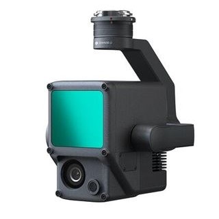
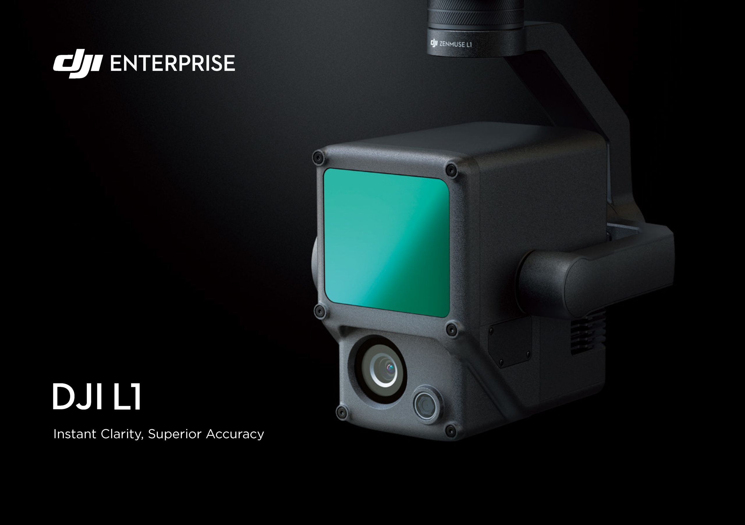
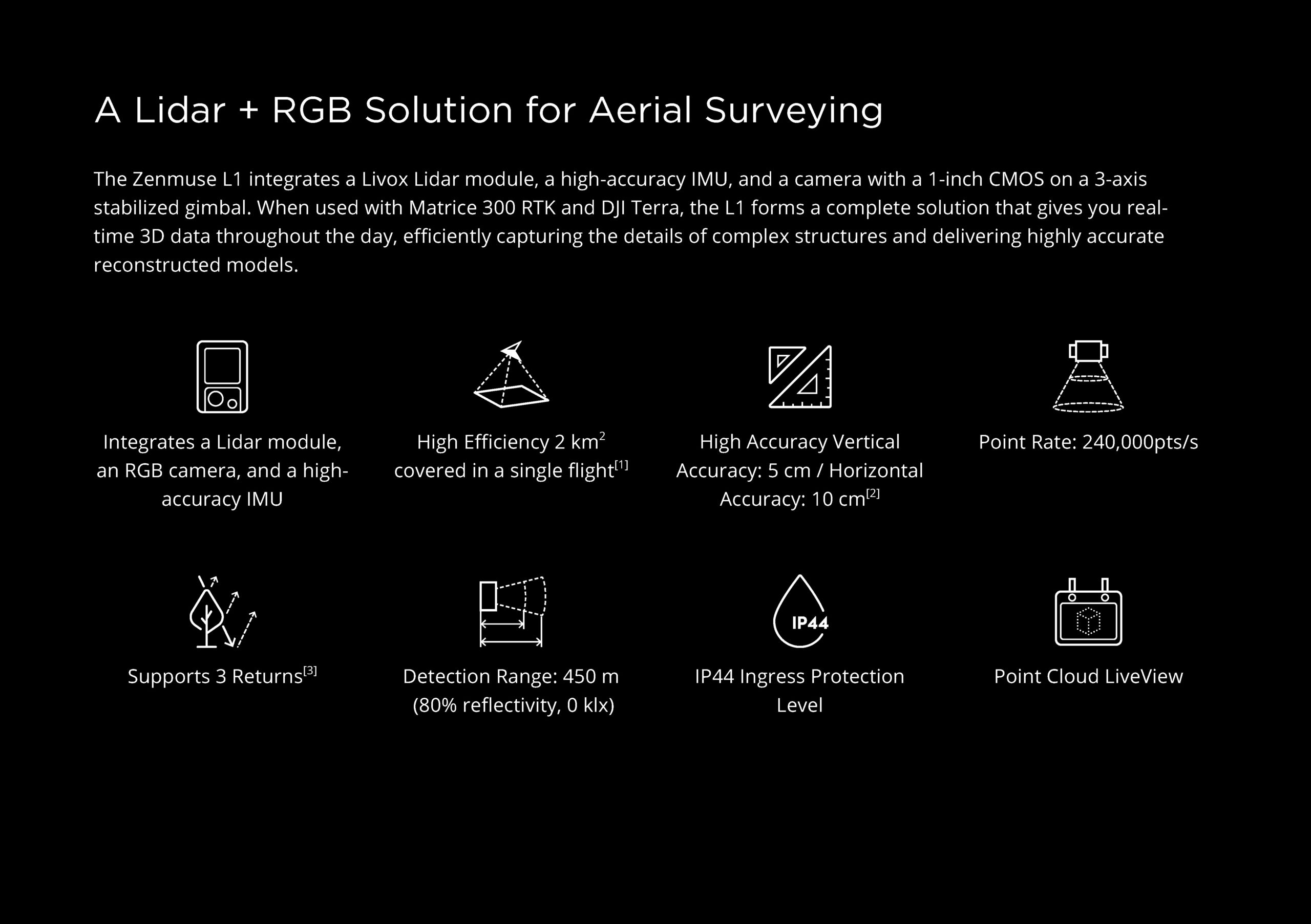
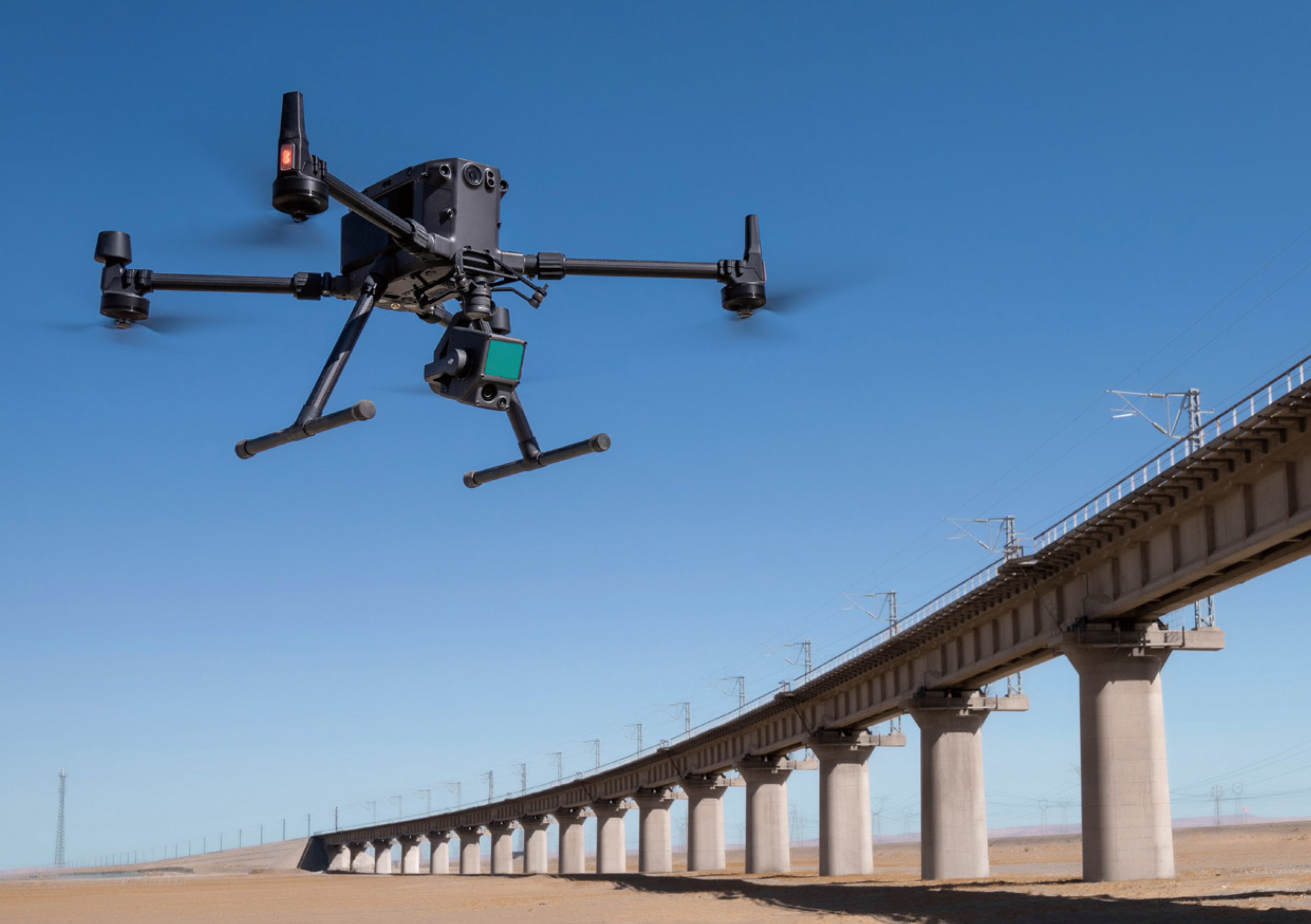
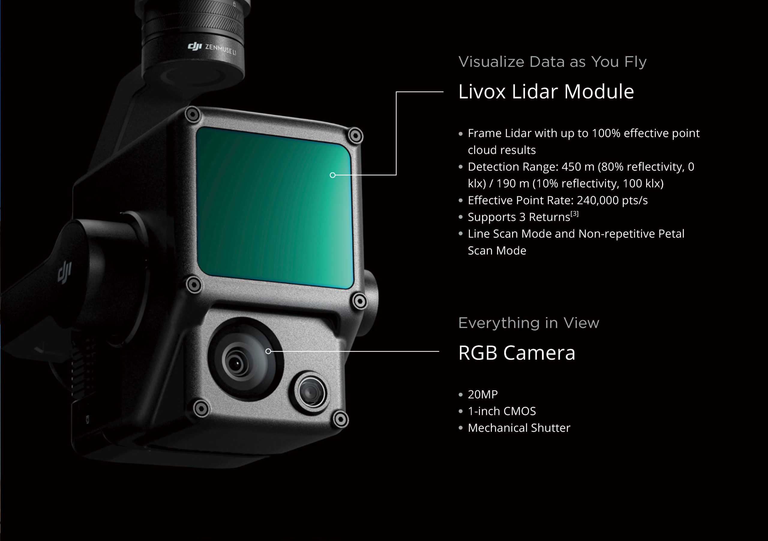
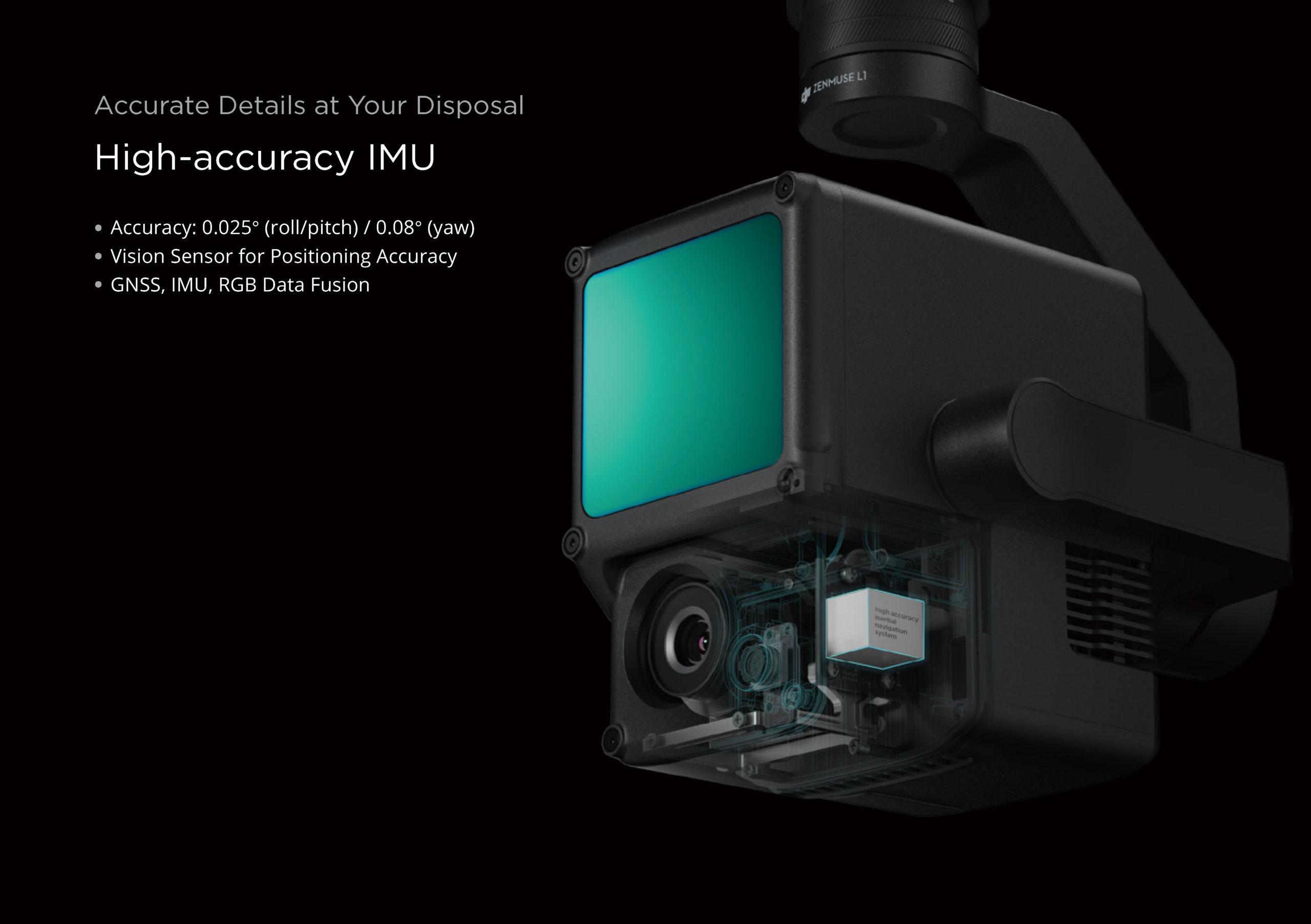
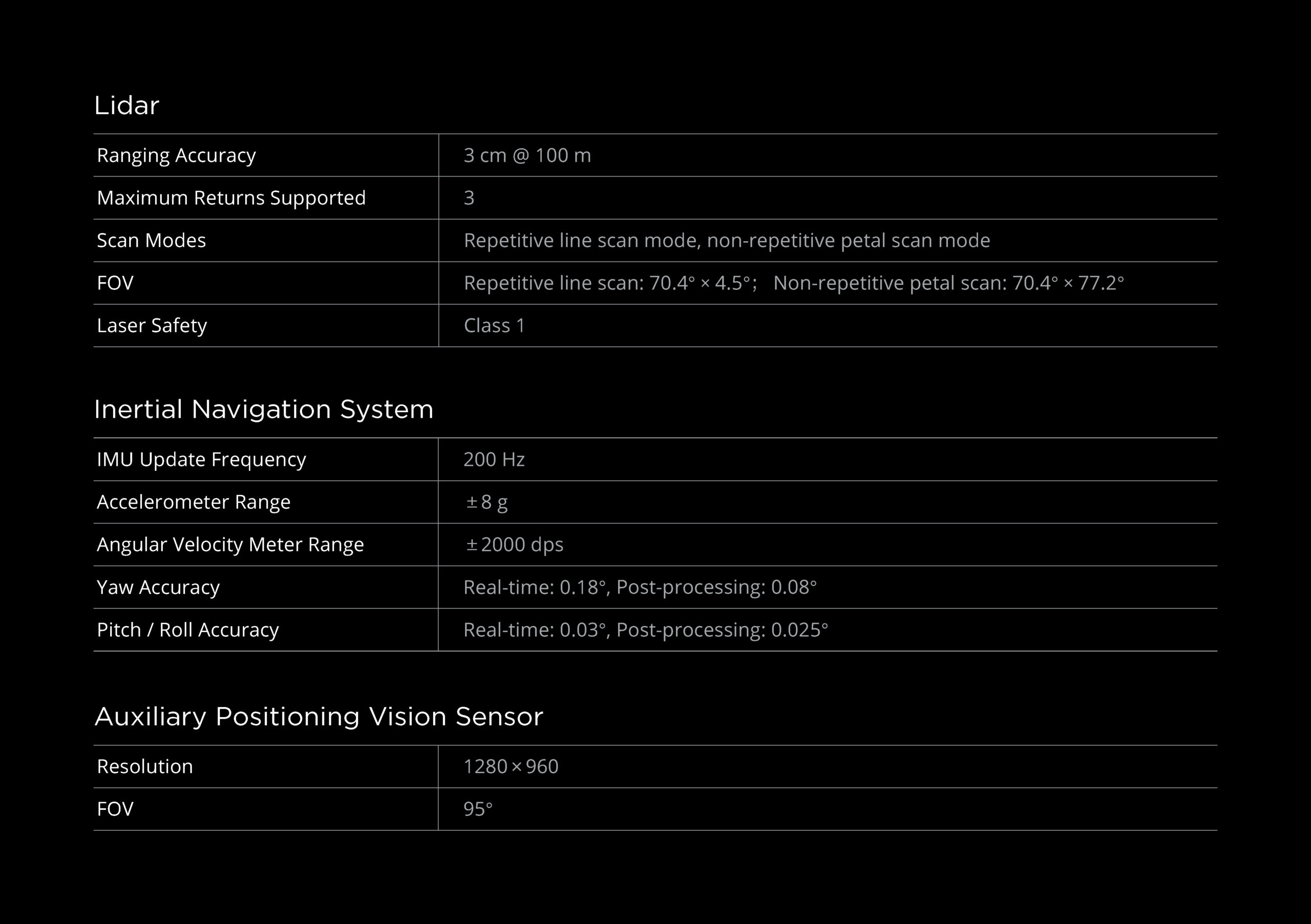
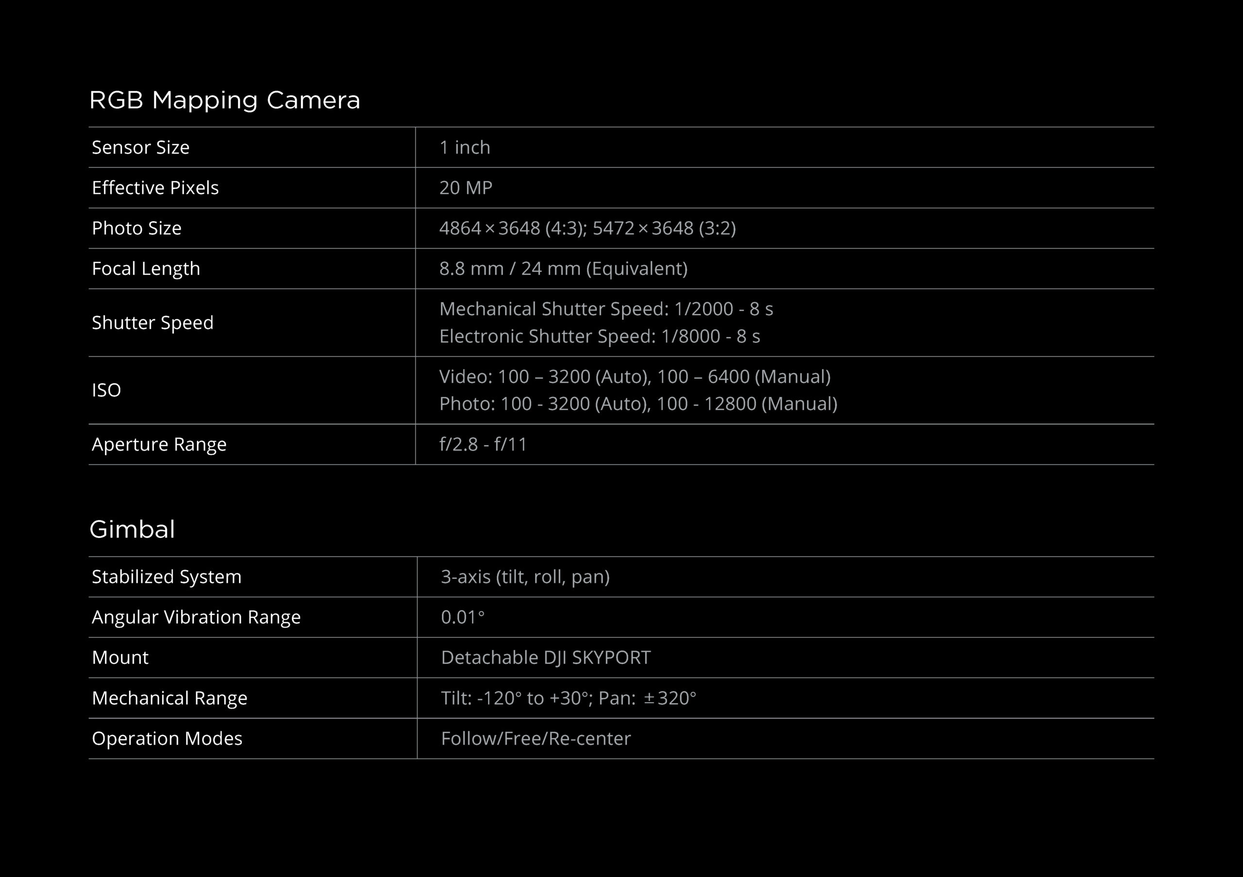
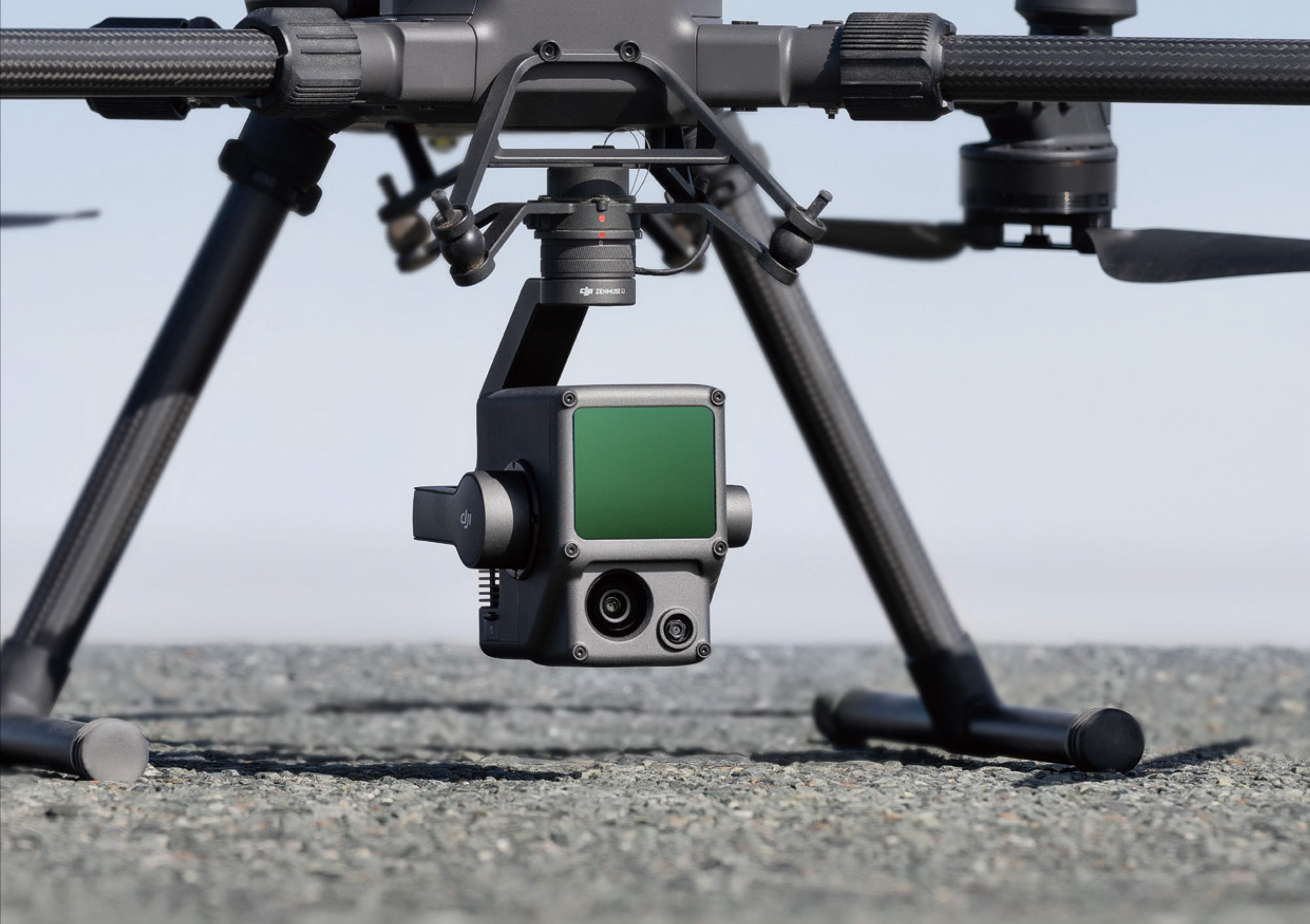
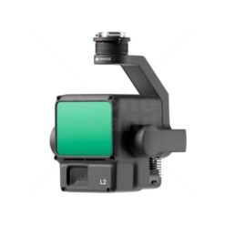
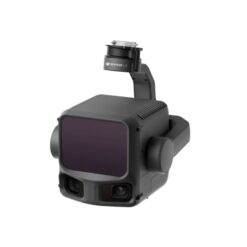
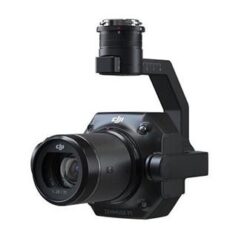
De Zenmuse L1 integreert een Livox Lidar-module, een zeer nauwkeurige IMU en een camera met een 1-inch CMOS op een 3-assige gestabiliseerde gimbal. In combinatie met de Matrice 300 RTK en DJI Terra vormt de L1 een complete oplossing die u in realtime 3D-gegevens genereert, de details van complexe structuren efficiënt vastlegt en zeer nauwkeurige gereconstrueerde modellen oplevert.
Kenmerken
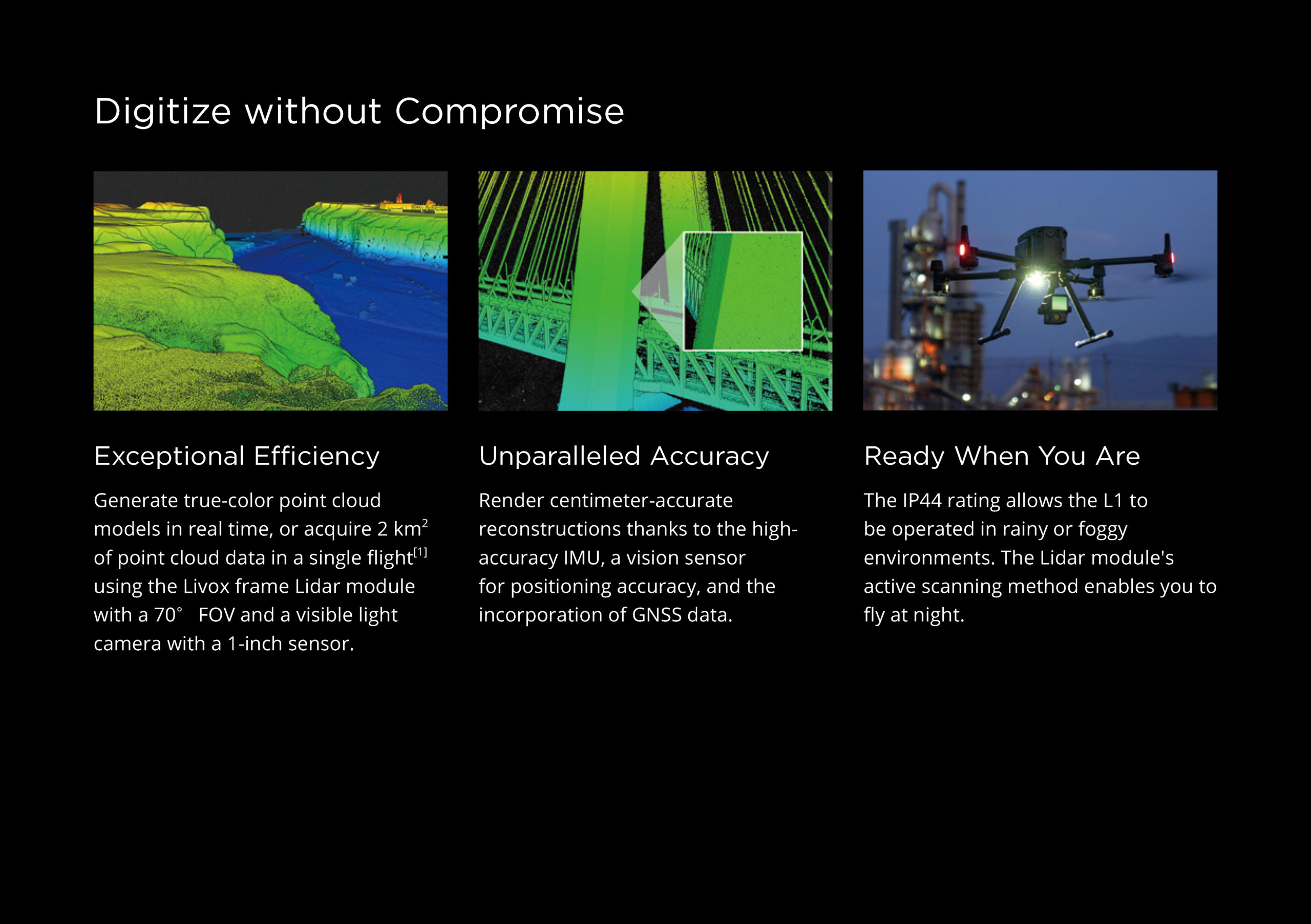
Uitzonderlijke efficiëntie
Genereer real-time puntenwolkenmodellen in kleuren of verkrijg 2 km2 aan puntenwolkgegevens in één vlucht met behulp van de Livox Lidar-module met een gezichtsveld van 70 ° en een RGB camera met een 1-inch sensor.
Ongeëvenaarde nauwkeurigheid
Geef centimeter-nauwkeurige reconstructies weer dankzij de zeer nauwkeurige IMU, een vision-sensor voor positioneringsnauwkeurigheid en de integratie van de GNSS-gegevens.
Klaar wanneer jij het bent
Dankzij de IP44-classificatie kan de L1 worden gebruikt in regenachtige of mistige omgevingen. Dankzij de actieve scanmethode van de Lidar-module kunt u ’s nachts vliegen.
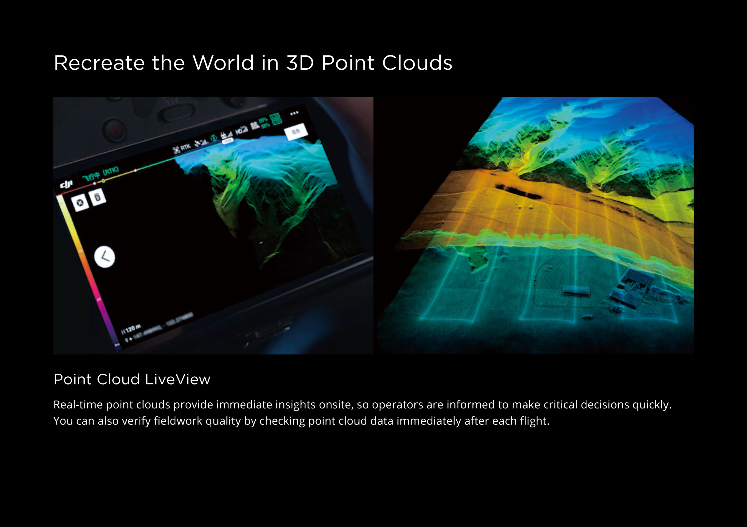
Point Cloud LiveView
Real-time puntenwolken bieden onmiddellijke inzichten op locatie, zodat operators worden geïnformeerd om snel cruciale beslissingen te nemen.
U kunt de kwaliteit van veldwerk ook verifiëren door de puntenwolkgegevens direct na elke vlucht te controleren.
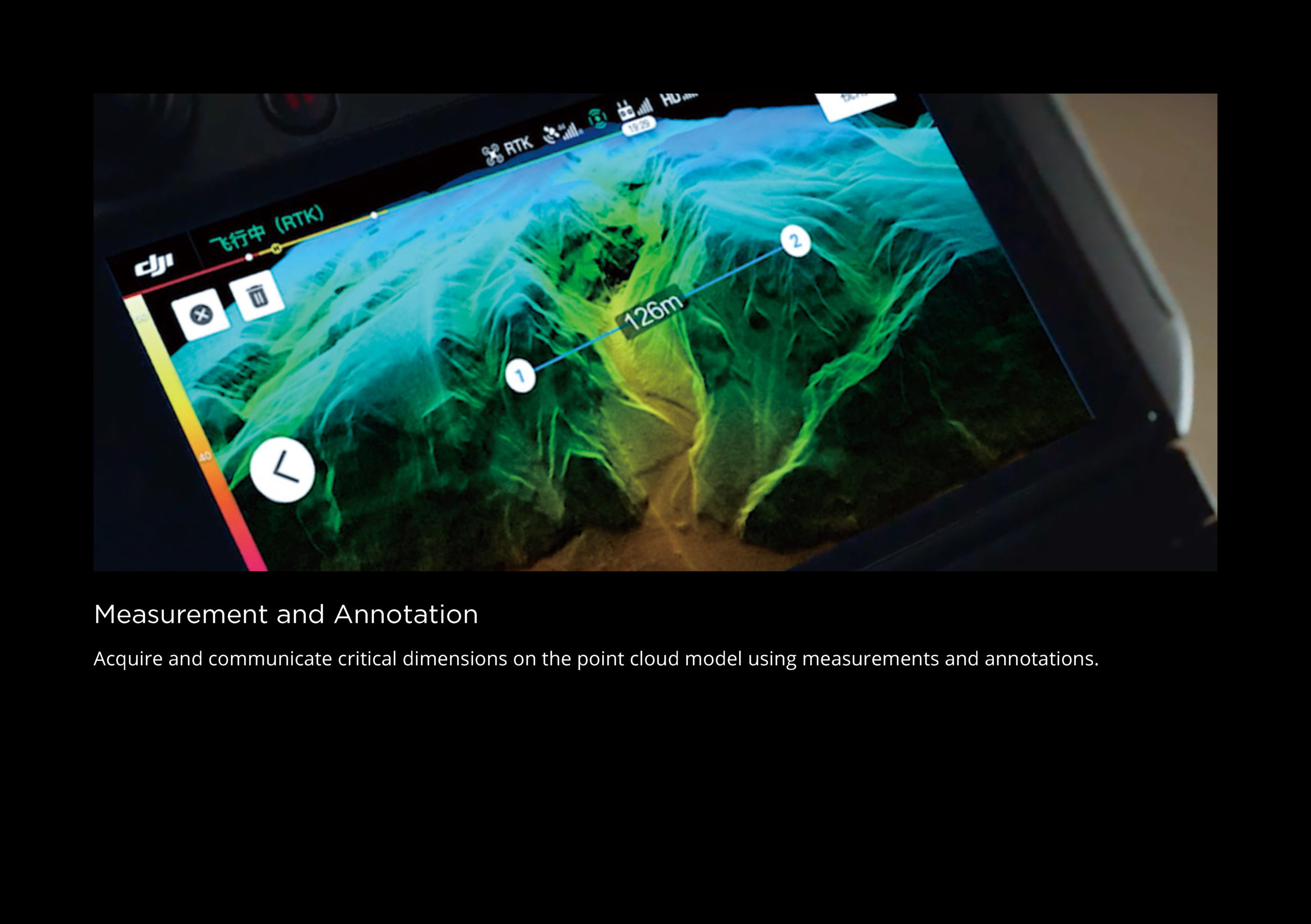
Meting en annotatie
Verwerven en communiceren van kritische afstanden op het puntenwolkenmodel met behulp van metingen en annotaties.
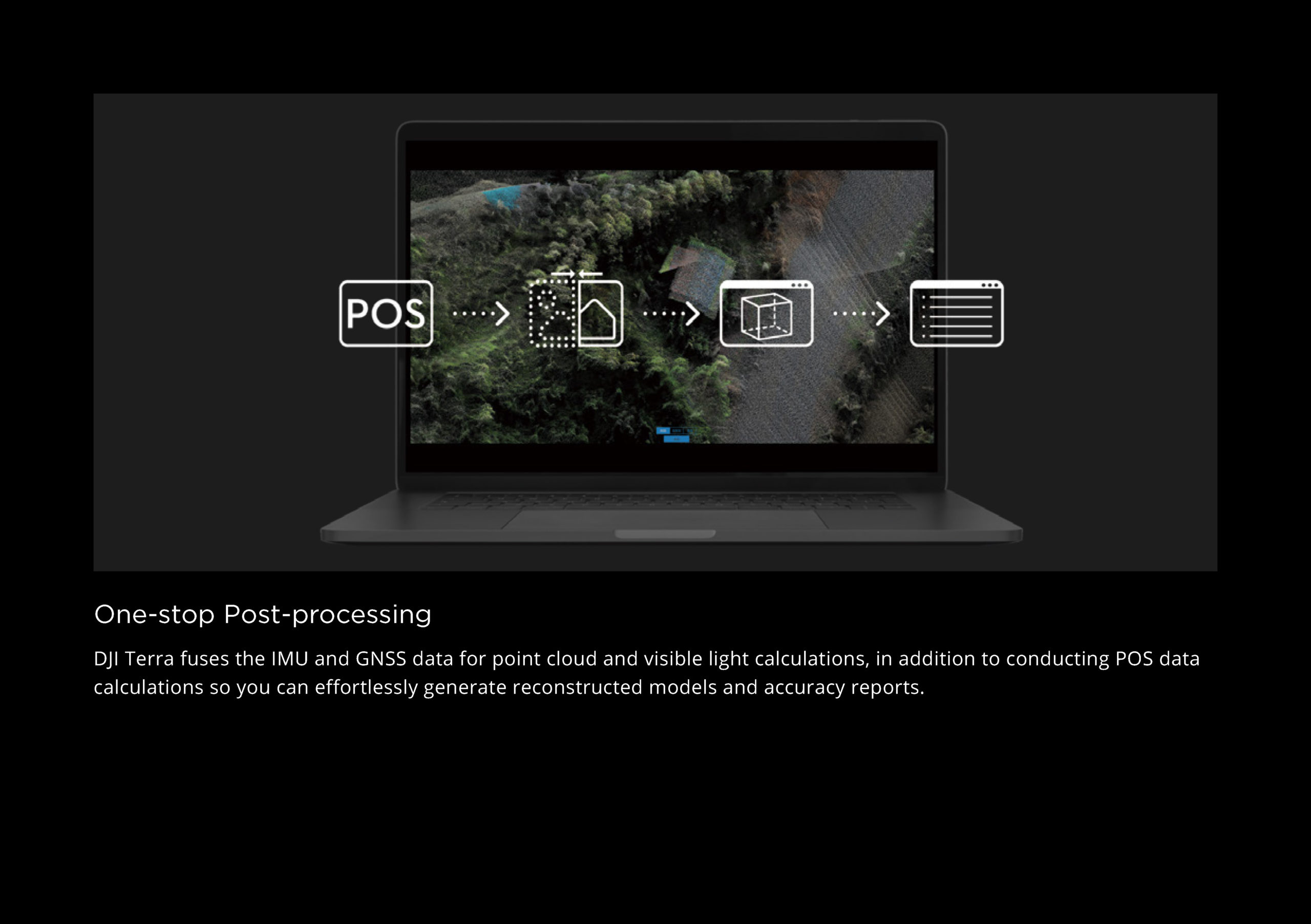
One-stop nabewerking
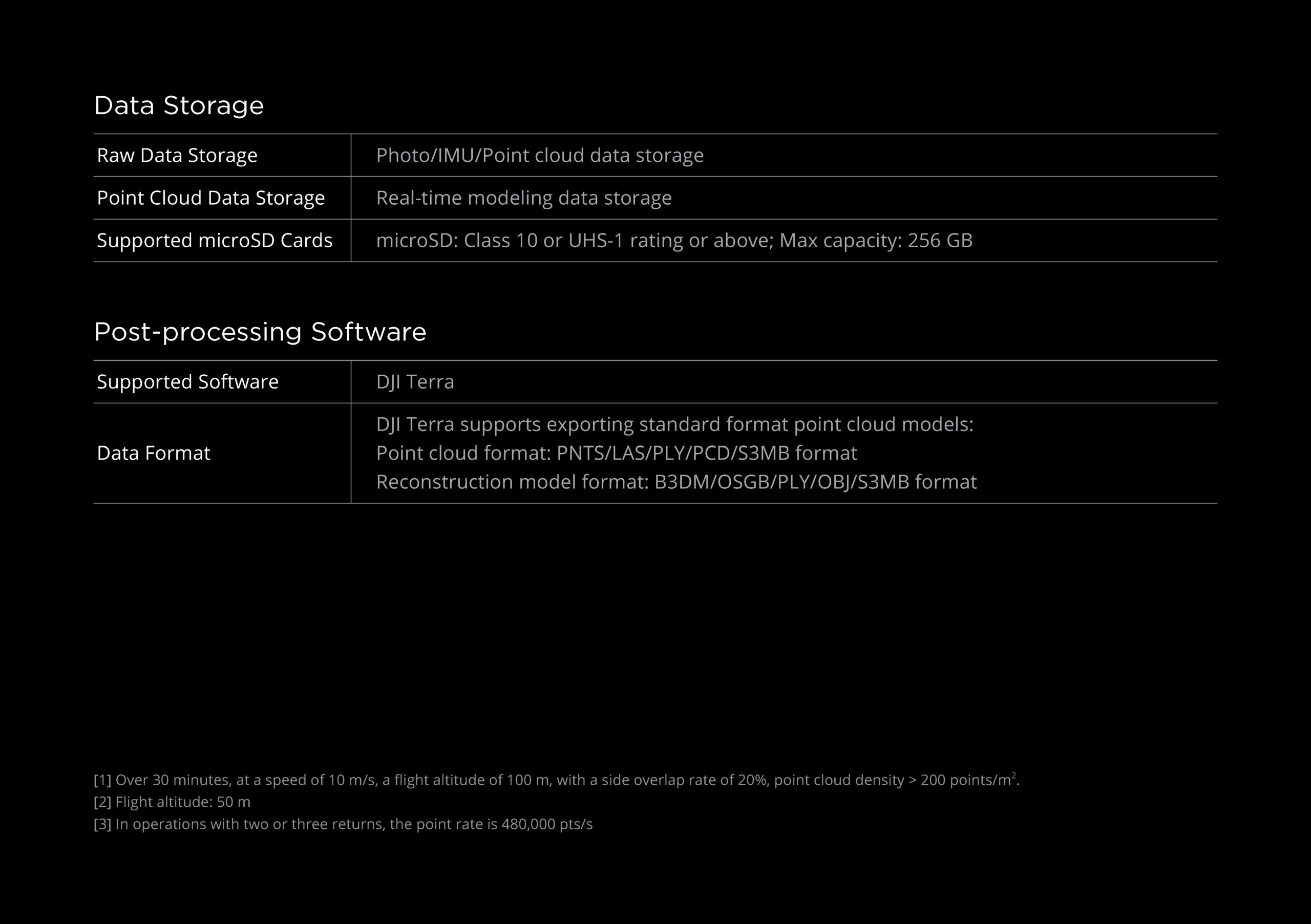
DJI Terra combineert de IMU- en GNSS-gegevens voor berekeningen van puntenwolken en RGB, naast het uitvoeren van POS-gegevensberekeningen, zodat u moeiteloos gereconstrueerde modellen en nauwkeurigheidsrapporten kunt genereren.

