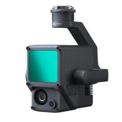
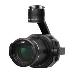
DJI Zenmuse P1 - Full-frame camera - the new standard in photogrammetry
DJI Enterprise has made significant efforts and commitments to professionals in the architecture, engineering, construction and surveying industries in recent years. Experts have adopted drone technology and used the DJI P4 RTK to capture data for accurate centimetre-level maps and models for a range of applications, from cadastral surveys to natural heritage models.
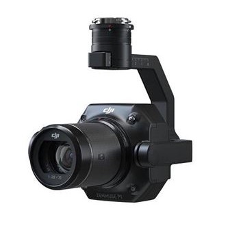
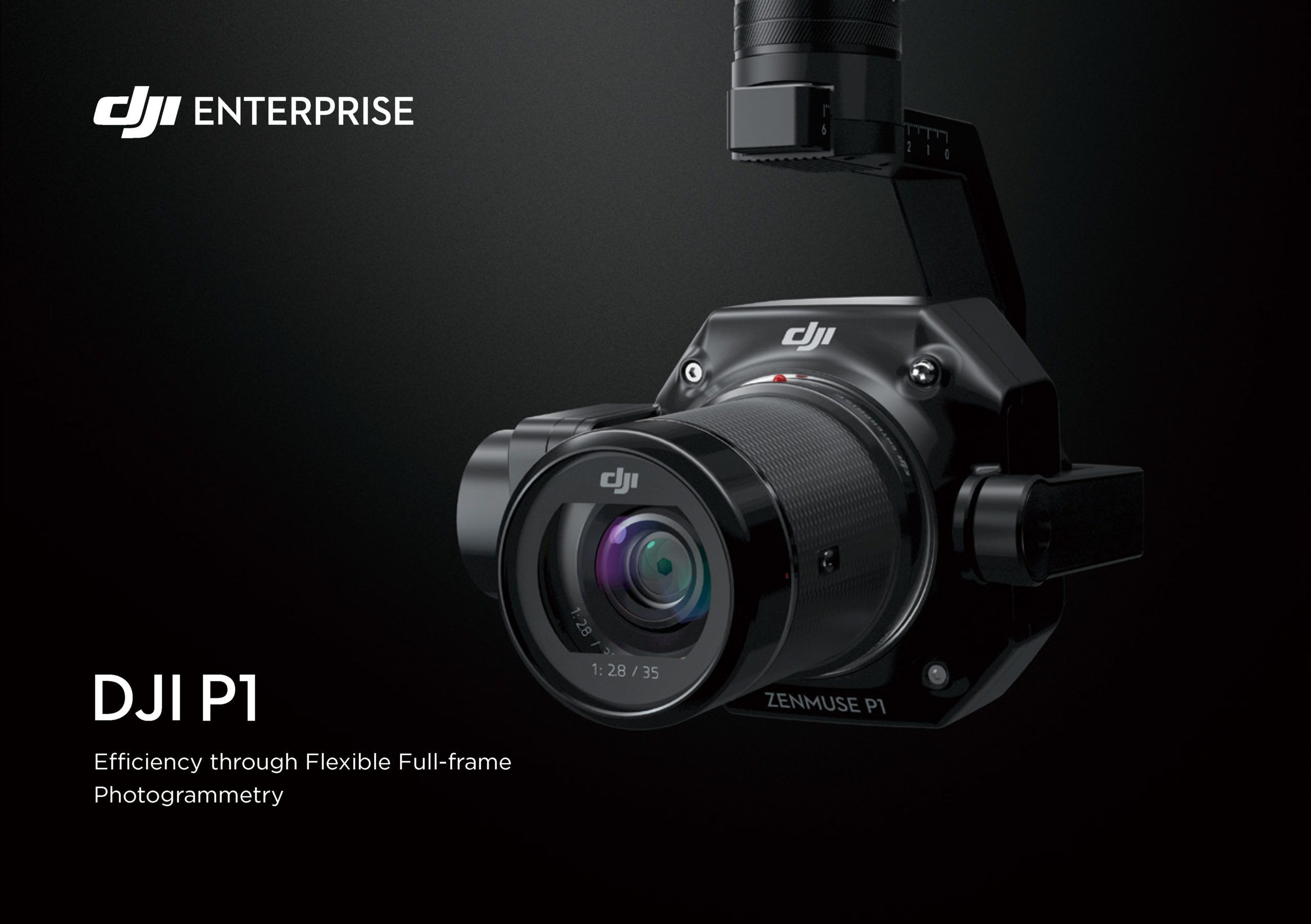
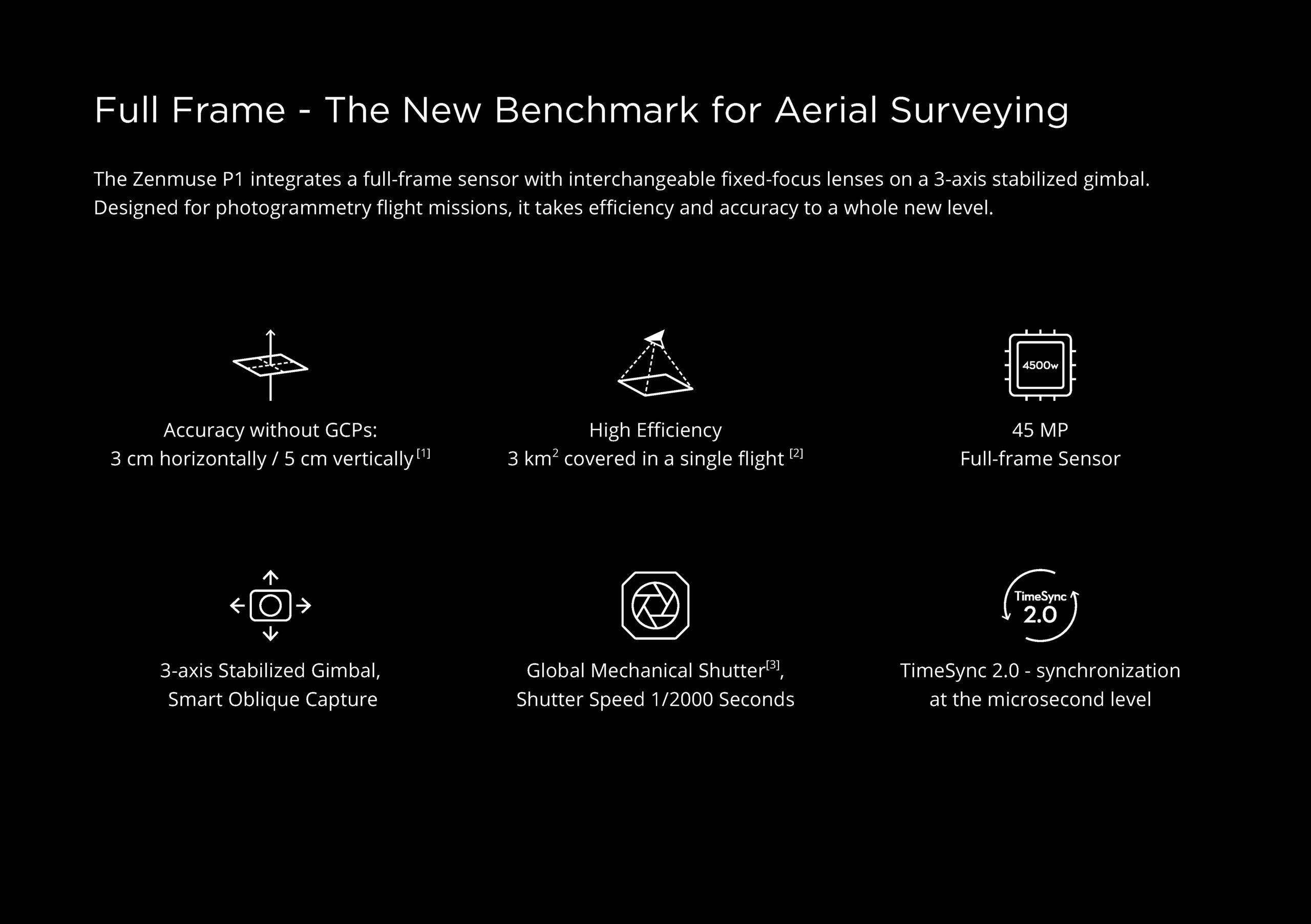
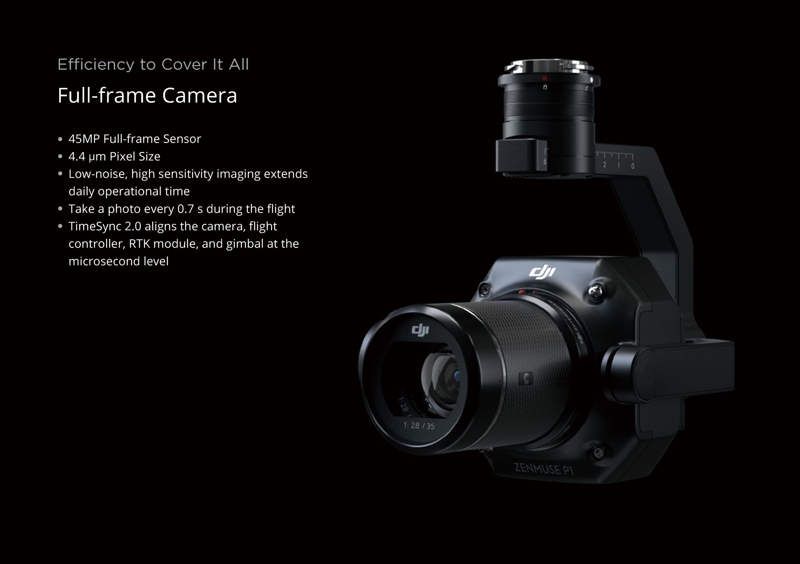
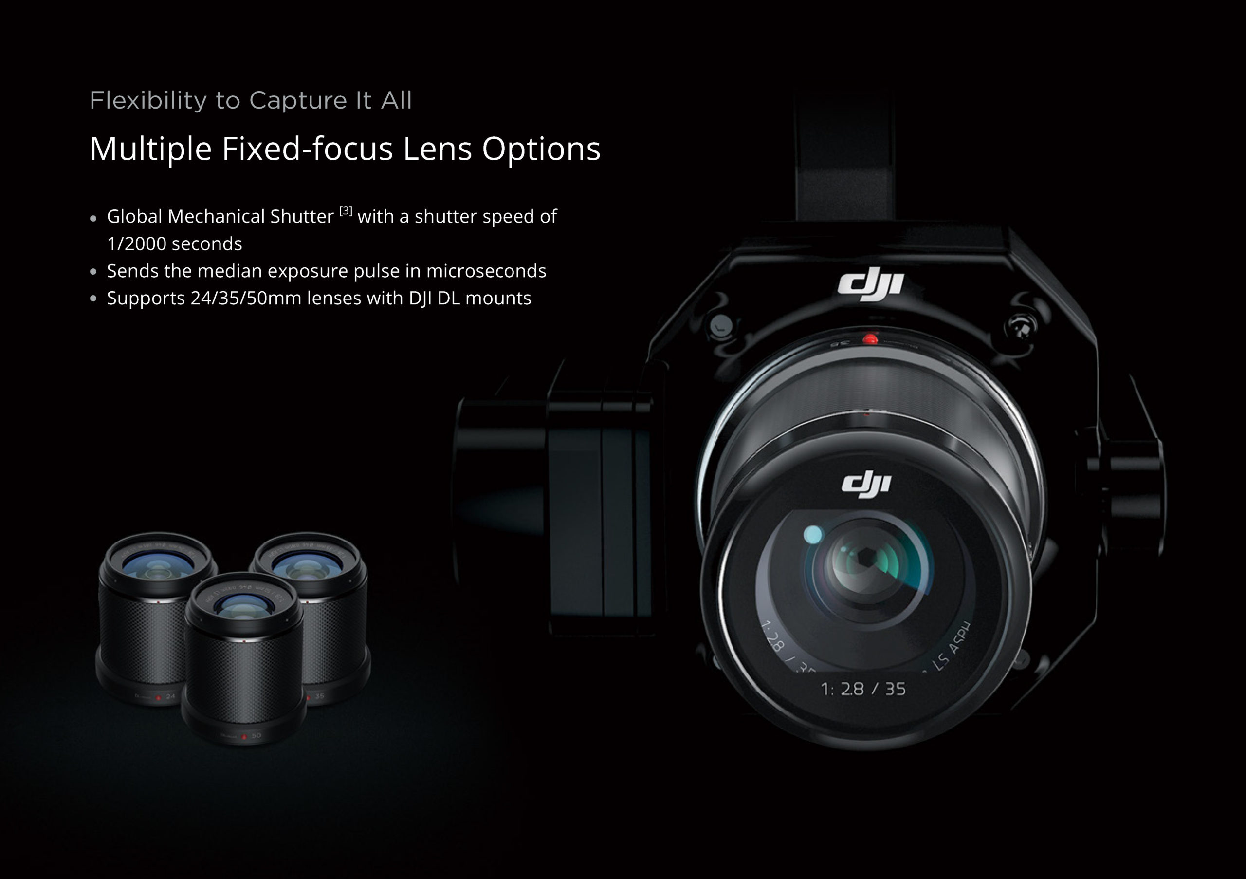
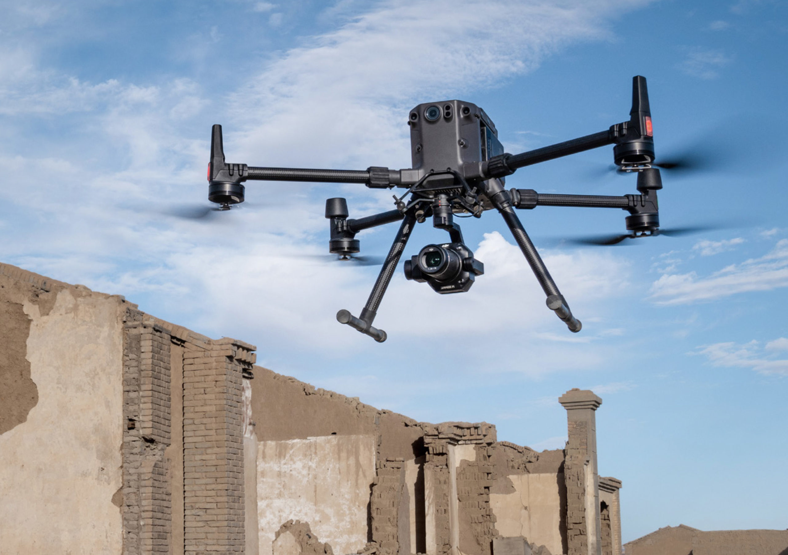
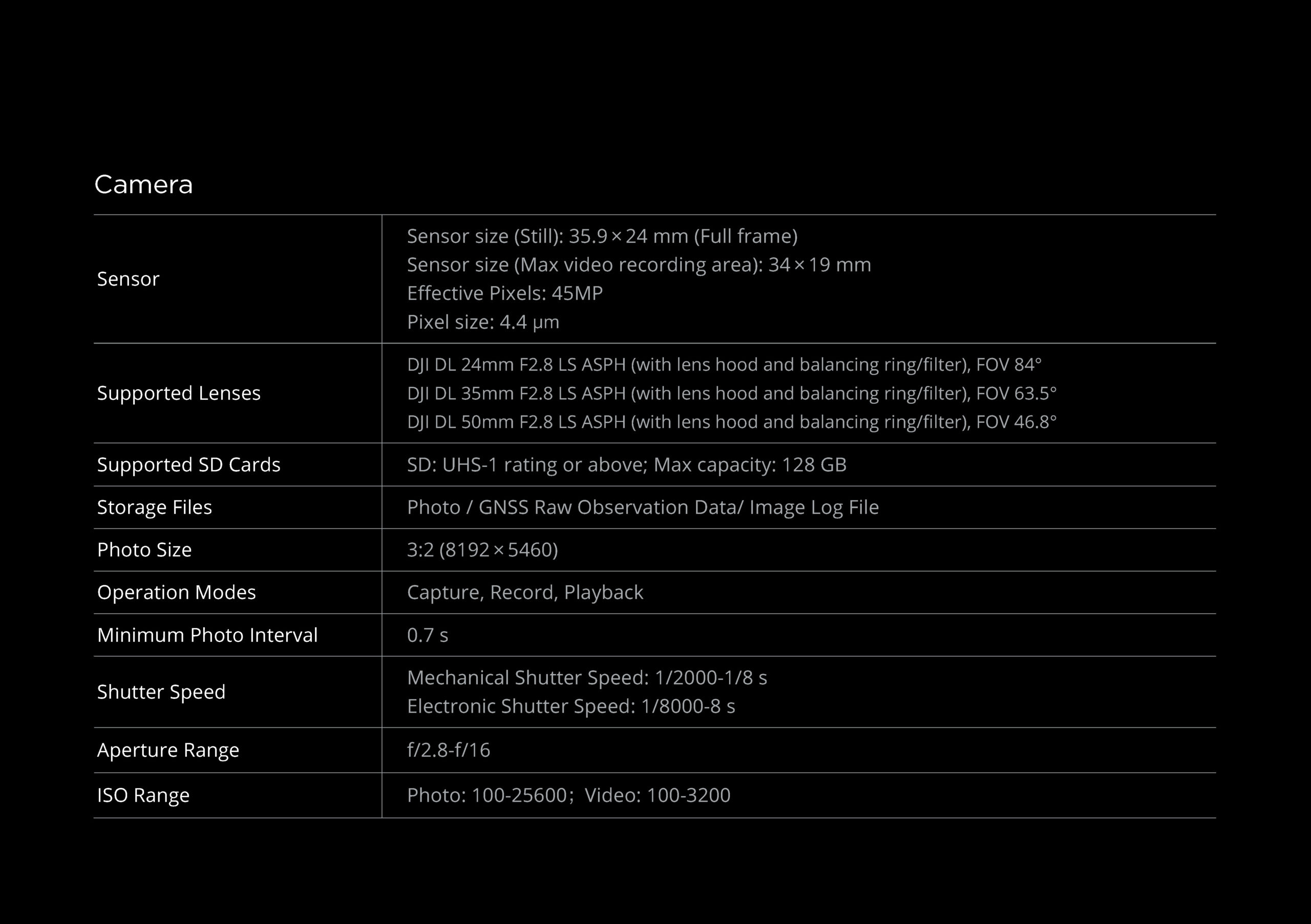
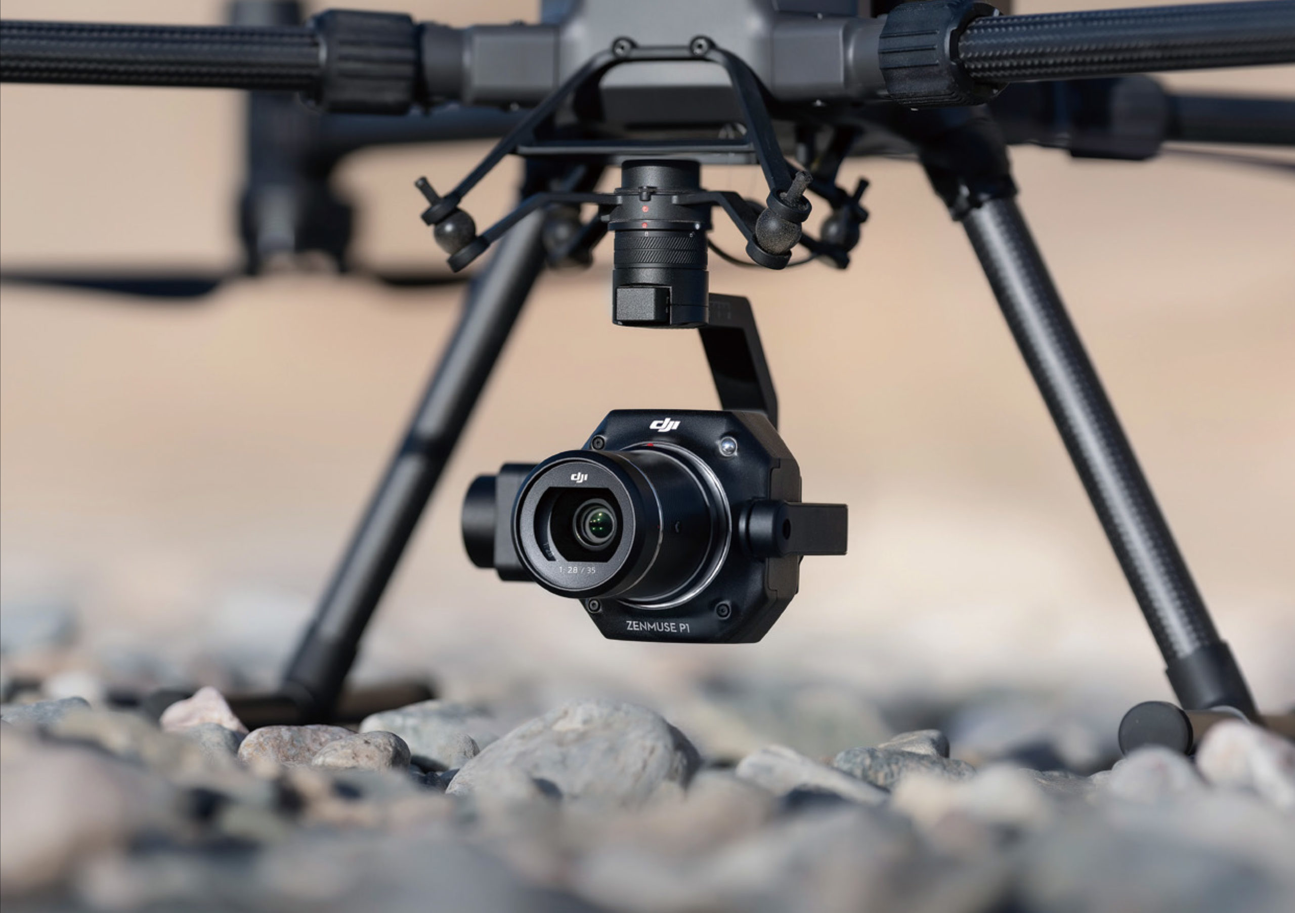
Today, DJI is pushing the boundaries of its vision for the industry by elevating aerial photogrammetry to unprecedented levels of accuracy, performance and precision. The new DJI Zenmuse P1 is the most powerful DJI camera payload dedicated to geospatial data acquisition. It integrates a 45-megapixel full-frame low-noise, highly sensitive sensor with interchangeable 24/35 / 50mm fixed-focus lenses on a 3-axis stabilised gimbal suspension.
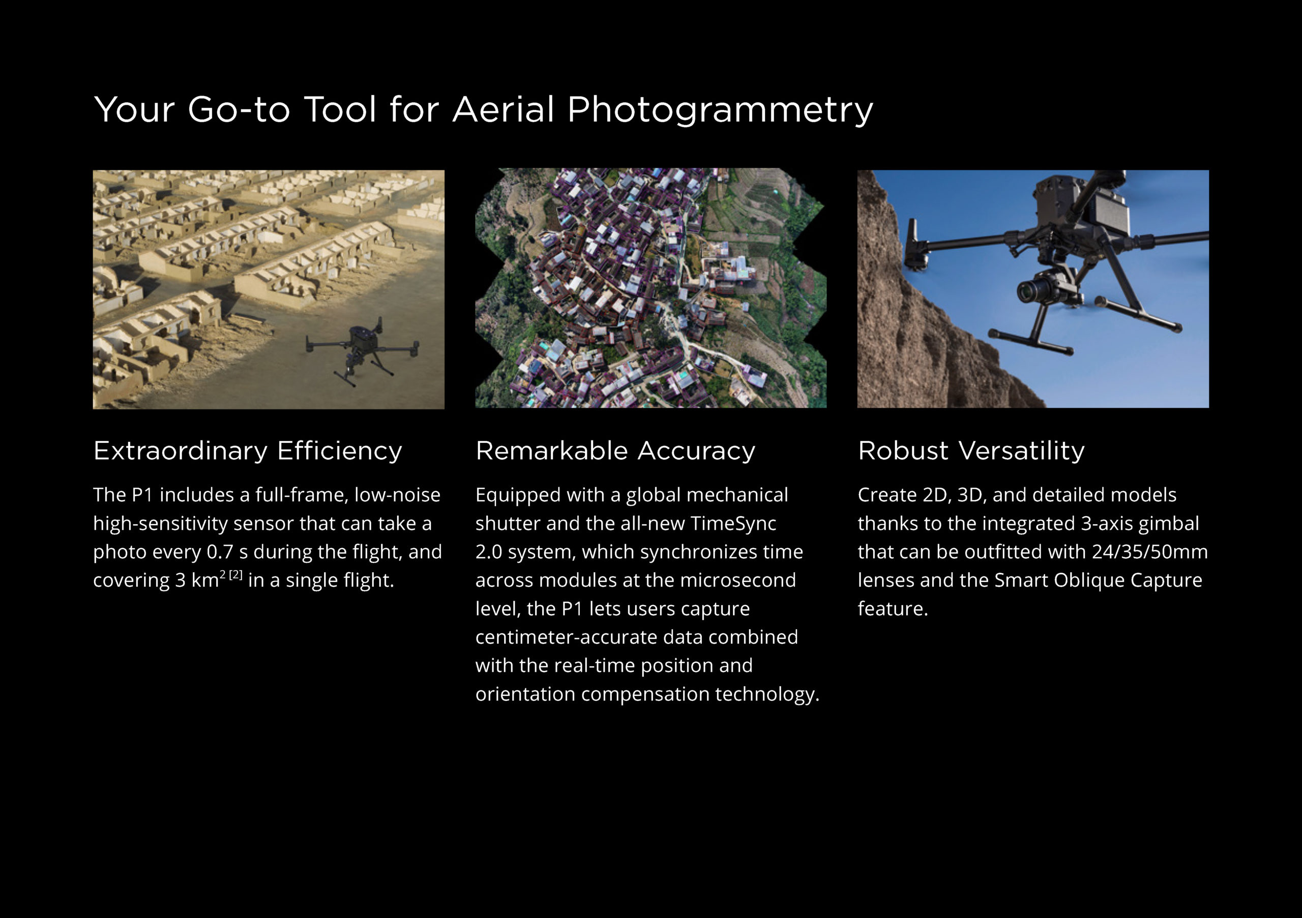
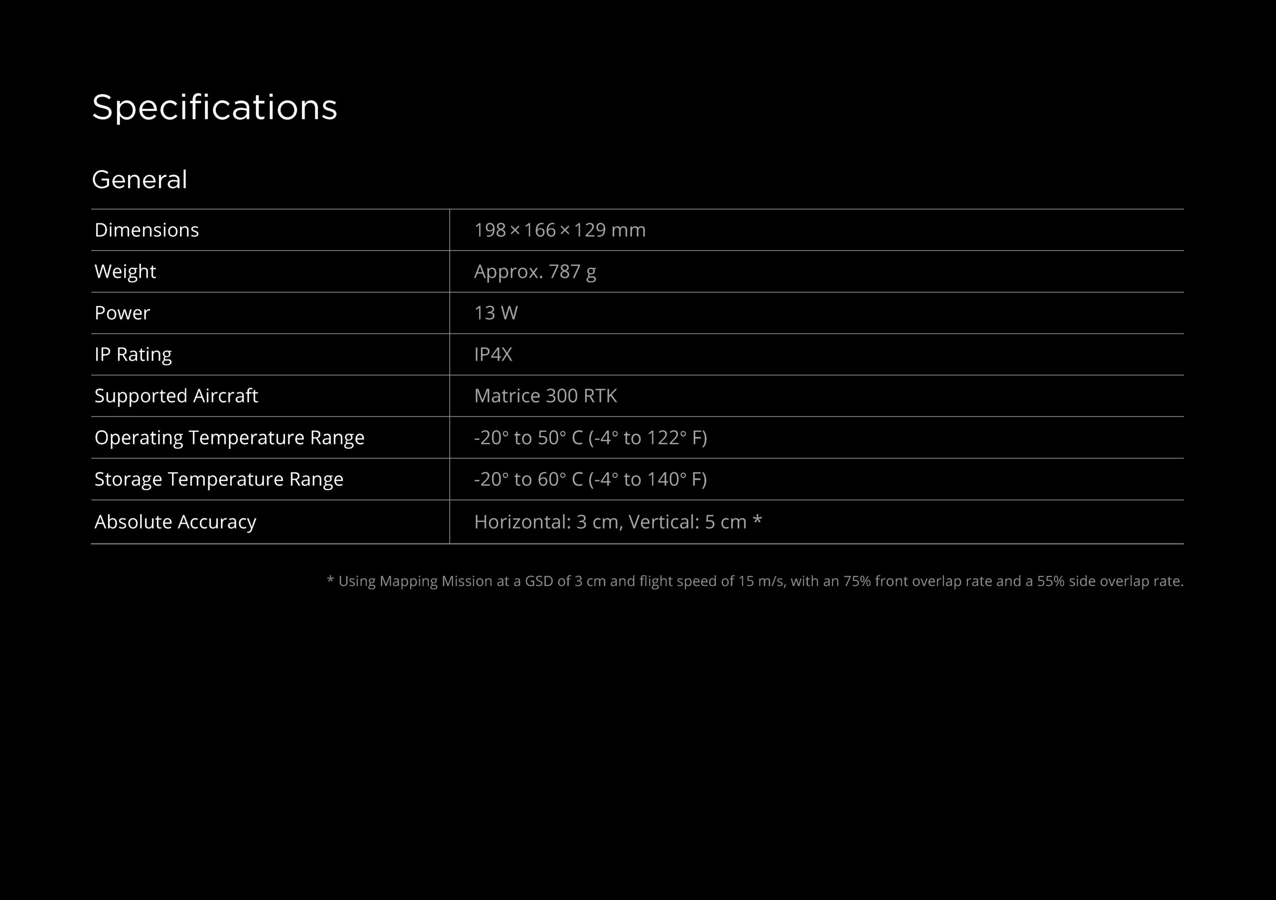
The DJI Zenmuse P1 offers high accuracy without ground control points (3 cm horizontally / 5 cm vertically) and high efficiency as it can cover 3 km2 in a single flight.
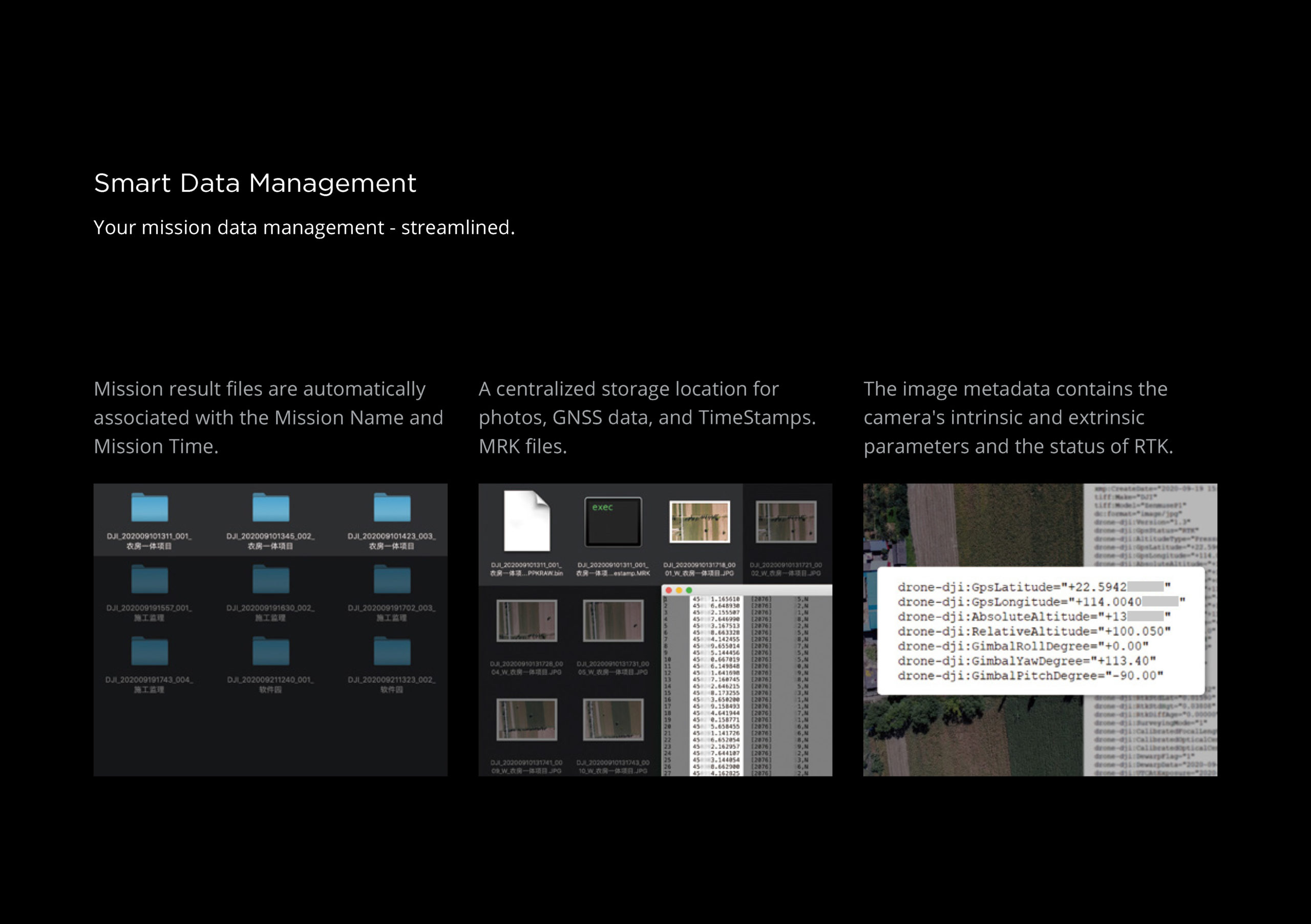
Equipped with a mechanical shutter and an all-new TimeSync 2.0 system that synchronises the modules at the microsecond level, the Zenmuse P1 allows users to capture centimetre-accurate data combined with real-time position and orientation compensation technology.
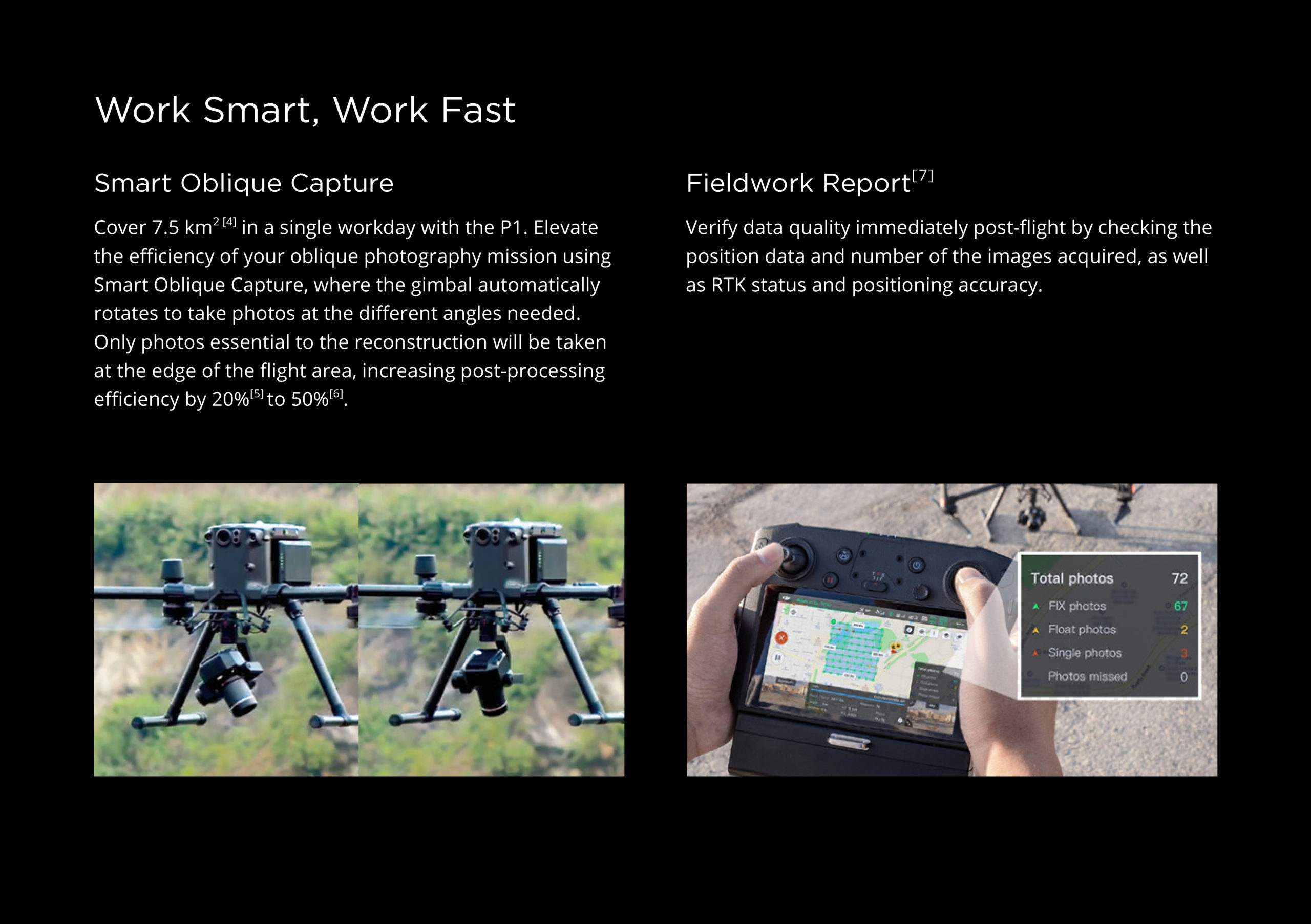
The Smart Oblique Capture function significantly improves efficiency by mimicking an oblique camera with multiple sensors and capturing only the images that are essential for reconstruction at the edge of the map areas.
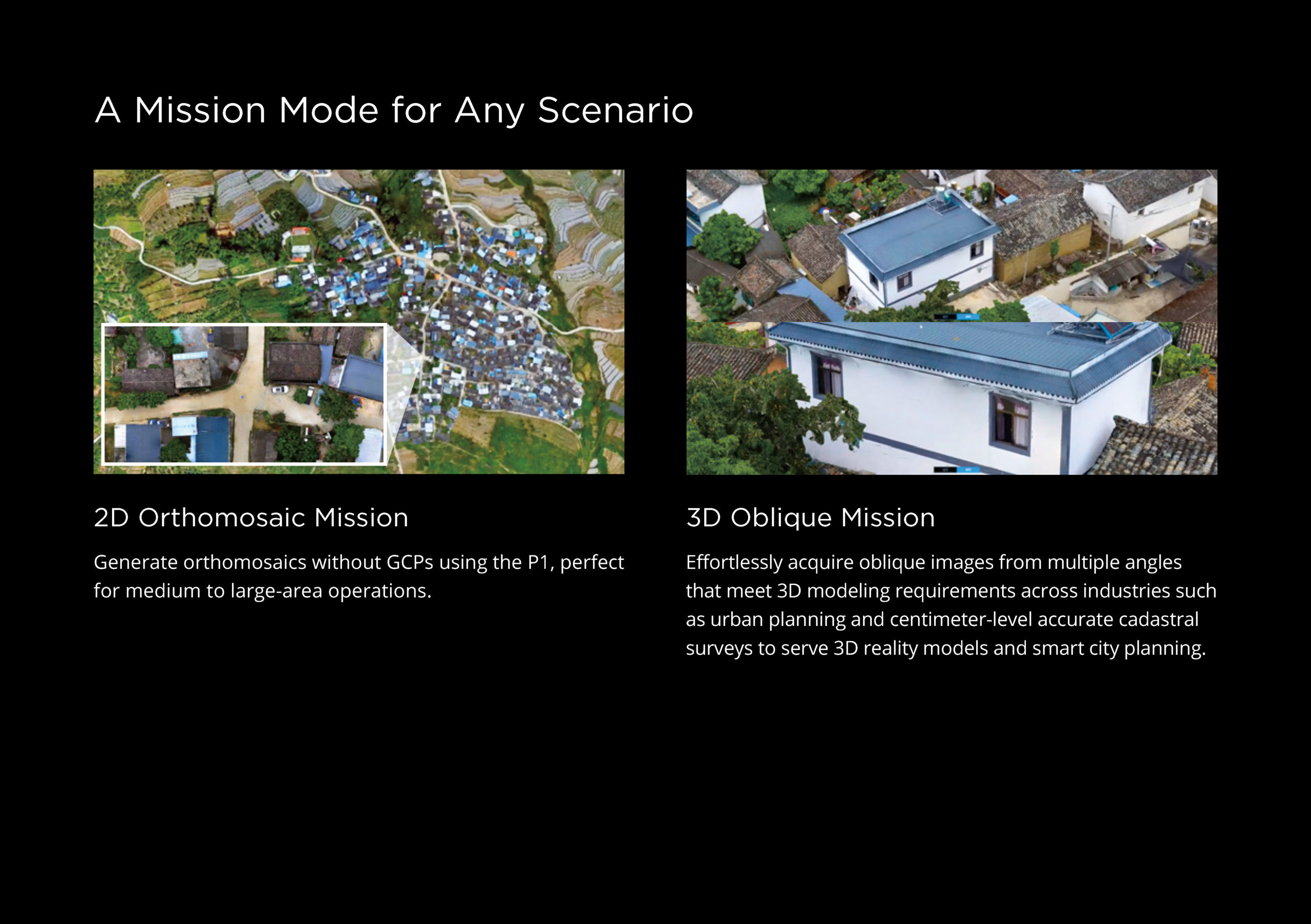
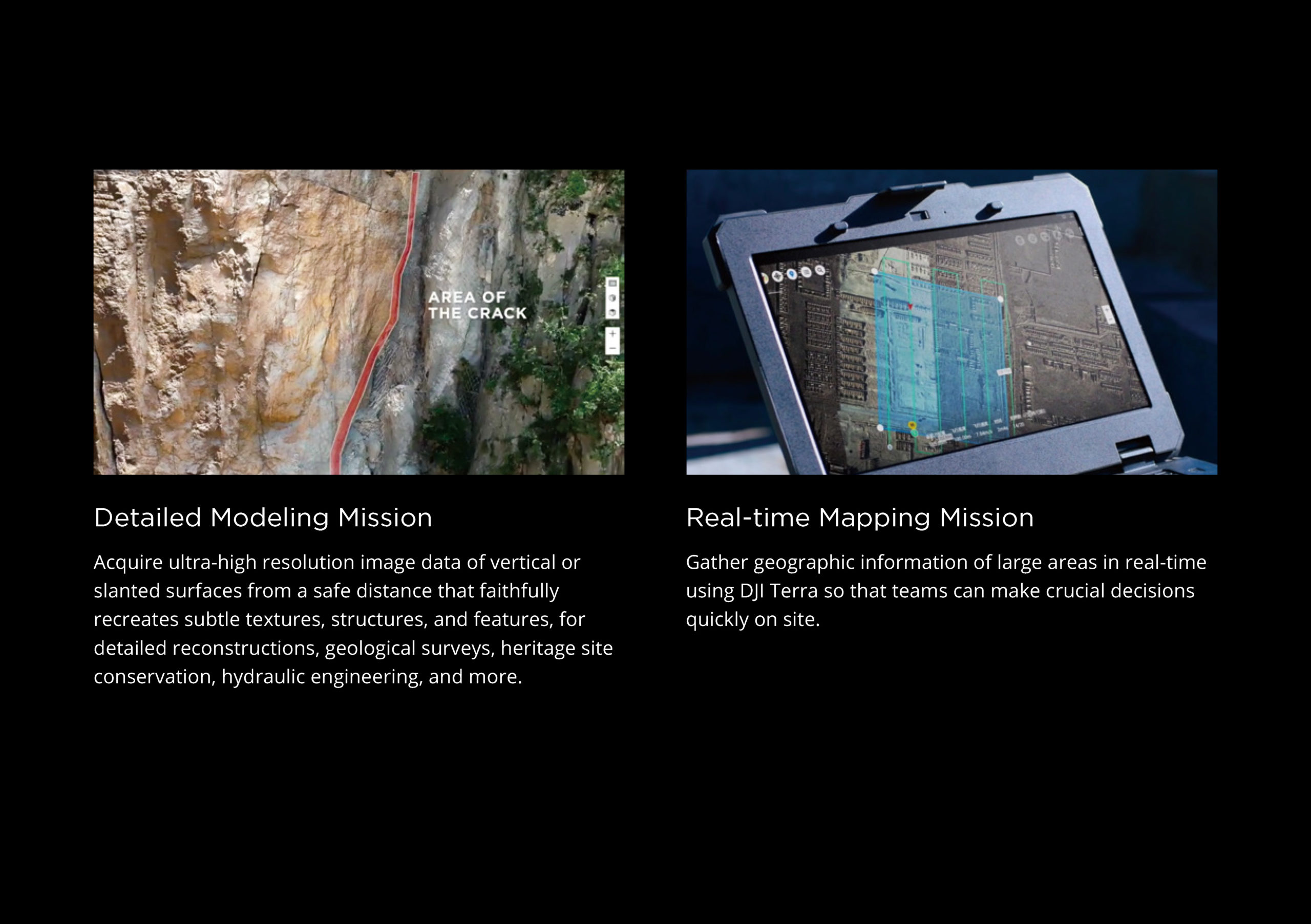
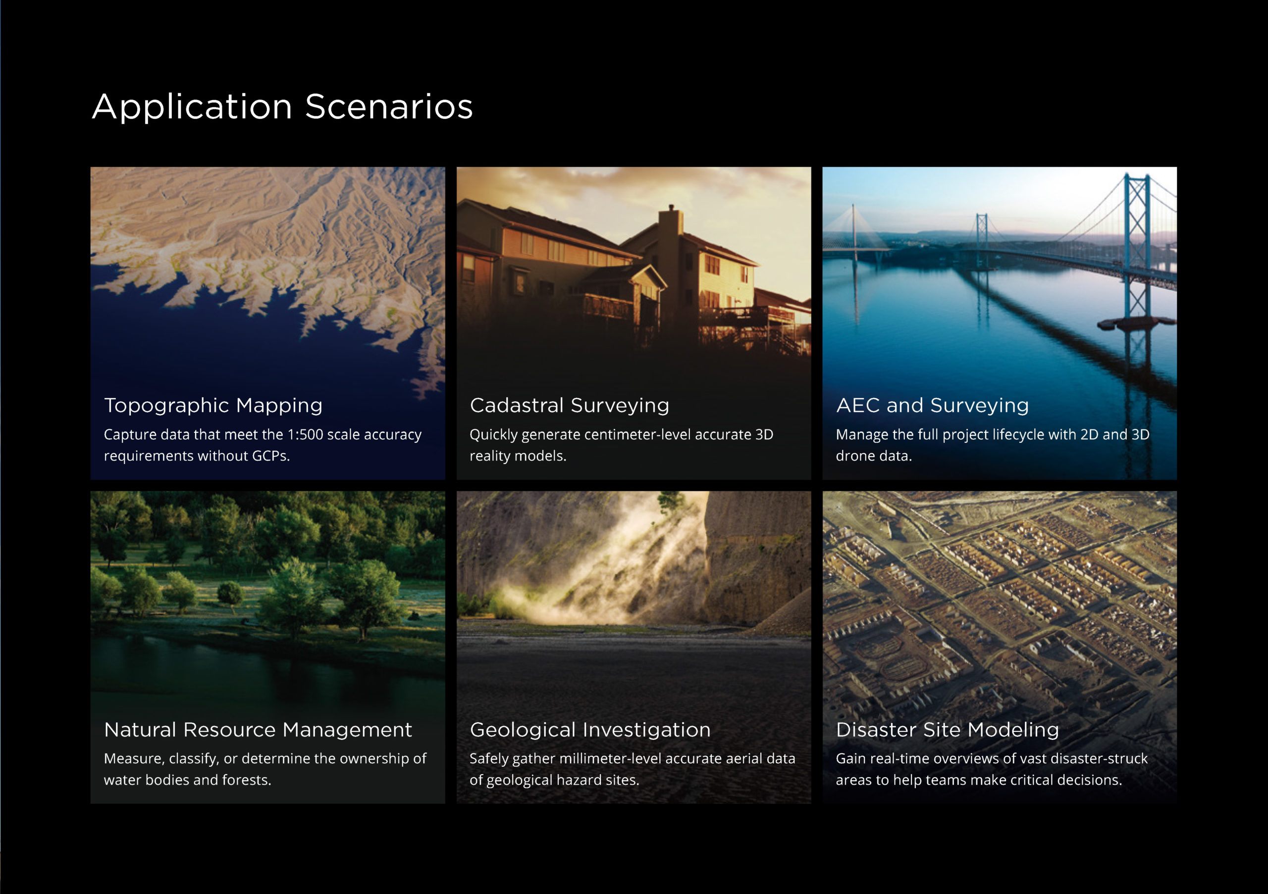
Enabling the DJI Zenmuse P1 gives photogrammetry professionals a new advantage, allowing them to work faster thanks to its unique features. They will be able to carry out complex missions requiring 2D orthomosaics, collect photos at a certain angle for 3D modelling with accuracy down to centimetre level, and obtain ultra-high resolution photos of vertical or oblique surfaces from a safe distance to reconstruct fine textures, structures and features for detailed reconstructions, geological surveys, heritage site preservation, hydraulic engineering and more. Teams will also be able to work on real-time mapping where geographical information is collected using DJI Terra.

